Students at Ditidaht Community School have been working hard to highlight the rich history of places and civilization in traditional territories of the Ditidaht First Nations through a recently launched mapping website.
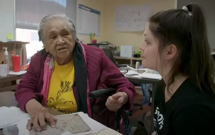
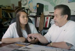
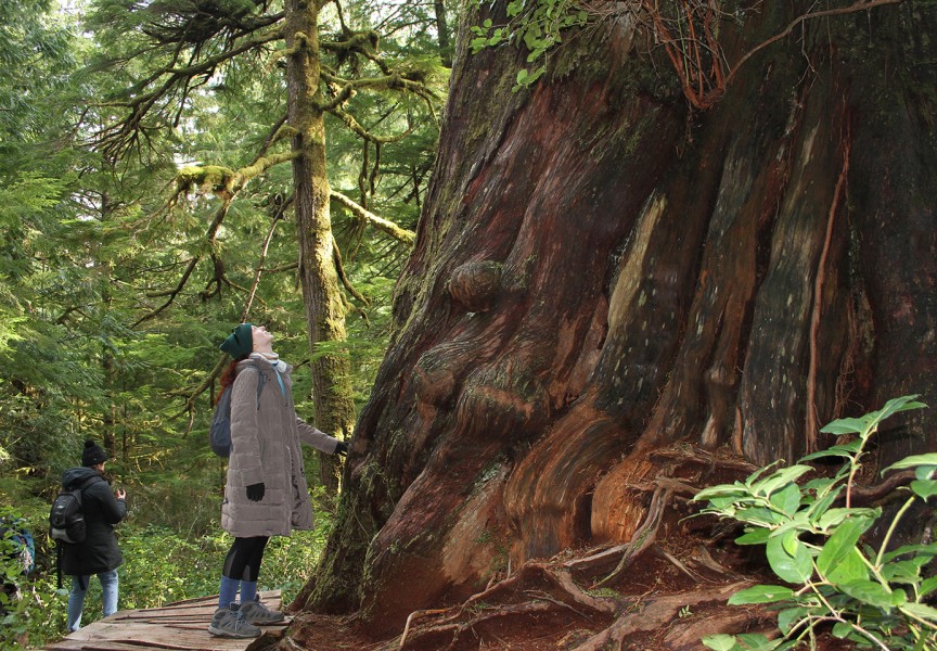
The site, designed to share information to the public about place names, traditional uses and Ditidaht connections today, features the work of students who researched places by interviewing knowledge keepers, searching historical documents and by visiting traditional areas.
The Ditidaht traditional territory stretches inland from Cowichan Lake, down through Nitinaht Lake, and to the coast between Bonilla Point and Pachena Point. For generations, Ditidaht people lived in villages all along the coastline where the West Coast Trail passes through, but in the 1960s most moved inland to the road-accessible end of Nitinaht Lake where the school and community buildings are now located.
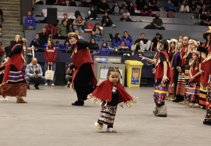
The Ditidaht places map represents a history of strong and growing connection for youth in the remote Vancouver Island First Nation to their traditional territory. The project was led by elders, students and the Ditidaht Community School’s growing Language and Culture department with help from fluent speaking elders, Dorothy Shepherd, Christine Edgar, Fran Tate and Mike Thompson.
Dave Mason, lead teacher for the Ditidaht Places Project, said the assignment is important for students because it invites them to turn their attention to their territory, culture and identity.
“It allows them to explore family connections to place and situate a way of life that might in some ways be becoming abstract. It also helps youth contextualize their language learning by encoring place names and stories in physical places,” Mason said.
The project is one component of an ongoing language revitalization initiative in the community as it works with its six remaining fluent speakers, all in their 70s and 80s.
“Place names give context to our language and make it easier to understand the way our people thought about things,” said former elected chief Robert Joseph in a press release.
Mason said for students, working with the elders was the most important element of the research process.
“Eyes would light up in both elders and students to share and learn about these places,” Mason said. “The territory is like a roadmap of the language. There are significant clues embedded in place names that reveal how Ditidaht perceive the world. By learning about these names, students can immerse themselves in this world and situate their language learning there. It gives them a context to fully appreciate their language.”
In addition to speaking with elders, research was compiled through the treaty negotiation process that yielded a Traditional Use and Occupancy Survey (TUOS).
“This document compiled by historians, anthropologists, archeologists and other researchers includes in-depth interviews of elders and knowledge keepers, archeological reports, historical photographs, letters of correspondence and government documents,” Mason said. “Students consulted this information and shared their learning in the pins on the site.”
Mason added that research is ongoing for this project as students will continually consult with knowledge keepers and elders. The map and content shared in its place-pins are designed to evolve and grow over time as different students share their research and findings.
“I’m very thankful to live in Nitinaht where we have a community school that teaches Ditidaht language, culture and history in its curriculum,” said student Krissy Edgar in a press release. “I had lots of fun going to as much of the locations as we could to hear my peers to hear what the land is/was used for.”
The project is an act of cultural reclamation for the students, Mason said, one that grounds learning in the territory their ancestors inhabited.
To view the map, visit ditidahtplaces.ca.
