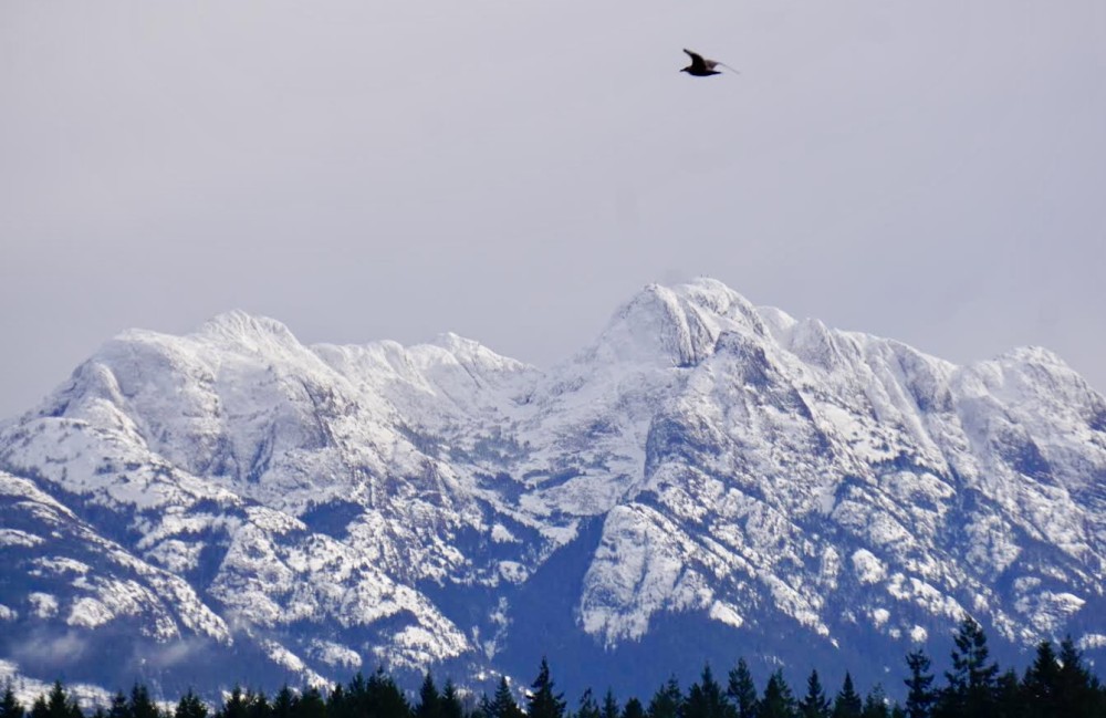
Vancouver Island’s snow pack is extremely low, averaging just 39 per cent of normal as of Jan. 1, but hydrologists with the River Forecast Centre (RFC) say there’s still lots of time in the season for conditions to improve.
The provincial snow pack is also low, averaging 56 per cent of normal across British Columbia, according to a snow survey and water bulletin by the RFC. Last year, the provincial average was 82 per cent on Jan. 1 and 62 per cent for Vancouver Island.
Fifteen snow stations measured all-time record low snow packs with five occurring in the Lower Fraser and four within the Upper Columbia snow basins.
The low snow pack could significantly affect ongoing drought concerns into summer 2024, according to the RFC.
Jonathan Bord, a hydrologist with the RFC, said there is a possibility of Vancouver Island seeing drought conditions this summer, but he believes weather patterns for the next week or so could bump the snow pack up.
“Usually we continue to build snow even into potentially late April or sometimes it will still be snowing in May, which happened in 2022,” Bord said. “Typically when we get snowfall…in Port Alberni or Victoria, Nanaimo, Duncan, it really doesn’t result in that much snow in the headwaters like up in the mountains. It tends to be the heavy rainfall…when it’s maybe five or six degrees that’s when we just get pounded up in the mountain tops, so the hope is that there’s going to be some recovery.”
If Vancouver Island sees a drought in 2024, it will make it the third year in a row for the Island. With drought conditions also comes the risk of wildfire, says Bord.
“Vancouver Island is primarily a rainforest and we just get so much rain we really haven’t seen the wildfire seasons that the interior has…but the ongoing risk of climate change, we could end up in a situation where Vancouver Island starts to dry out just like areas further south and the US,” Bord says. “We may be more susceptible to longer dry spells, drought conditions and then the associated wildfire that can come along with that.”
Bord said in the last 20 years, the snow pack on Vancouver Island has been lower than this year three times.
In 2005 it was 36 per cent of normal, 2014 was just seven per cent of normal and 2015 it was 28 per cent of normal.
Over the last 40 years, Bord sees 2015 as being “epic” for drought conditions. That summer saw Dog Mountain burn for weeks at Sproat Lake, spreading wildfire smoke through the Alberni Valley.
“In 2015 the drought was really kick started because there wasn’t much of any snowpack and there was considerable challenges in 2015,” Bord said. “It lasted until maybe the last week of August, first week of September when rains finally arrived on the Island. So if we don’t get snow than we’re going to be in a similar situation as 2015, but I do think it would be really rare for us to end up in a situation where the snow levels stay as low as they did.”
Bord said there are different ways to measure the snowpack. One way is where an aluminum tube is stuck into the ground to measure the depth and the weight of the snow, which is done once a month. There’s also four automated stations on Vancouver Island that record, measure and transmit data on an hourly basis.
Salmon runs can also become affected by low snow pack levels, but Bord said it’s still too early to tell what that could look like this year and it also depends on the river itself.
“Some of the smaller watersheds, particularly in the southern parts of the Island, aren’t going to be fed as much with the snow so it’s not going to be as big of a deal,” Bord said. “But of course some of the areas that are potentially bigger river systems or have a little bit more of that snow melt component, then for sure that will have an impact.”
The next snow report from the RFC will be released Feb. 8 on their website.