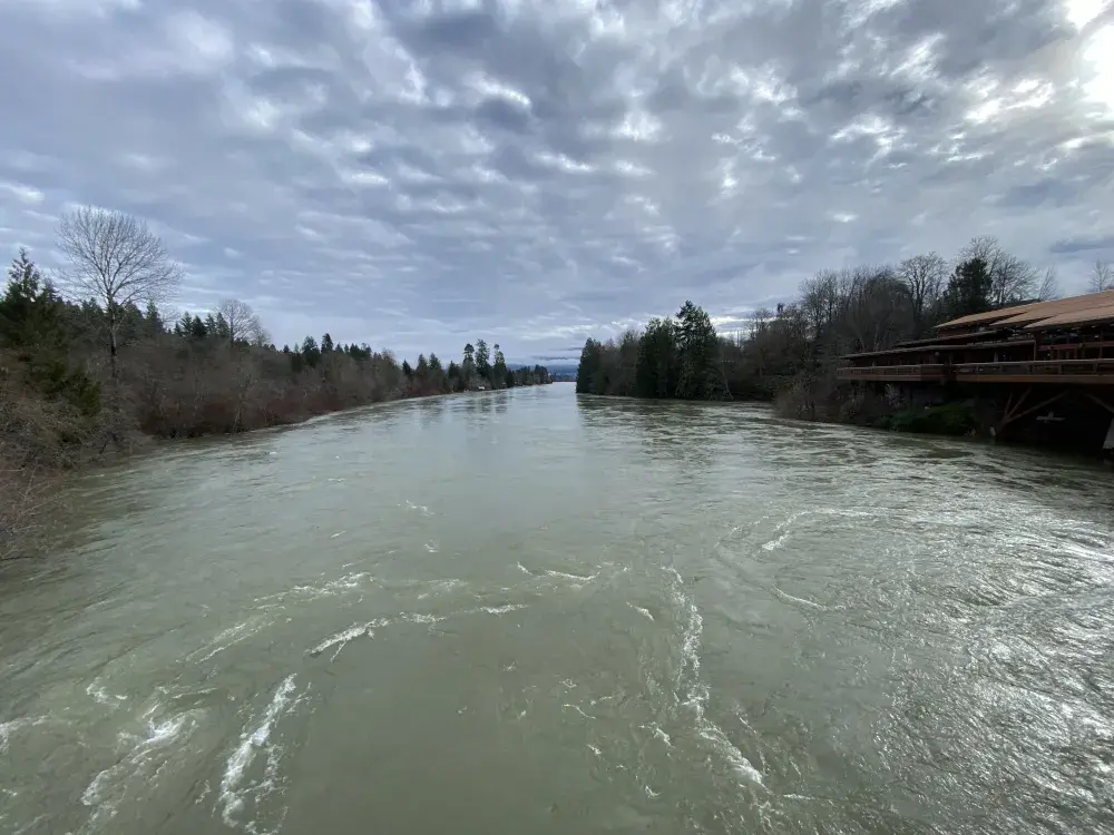
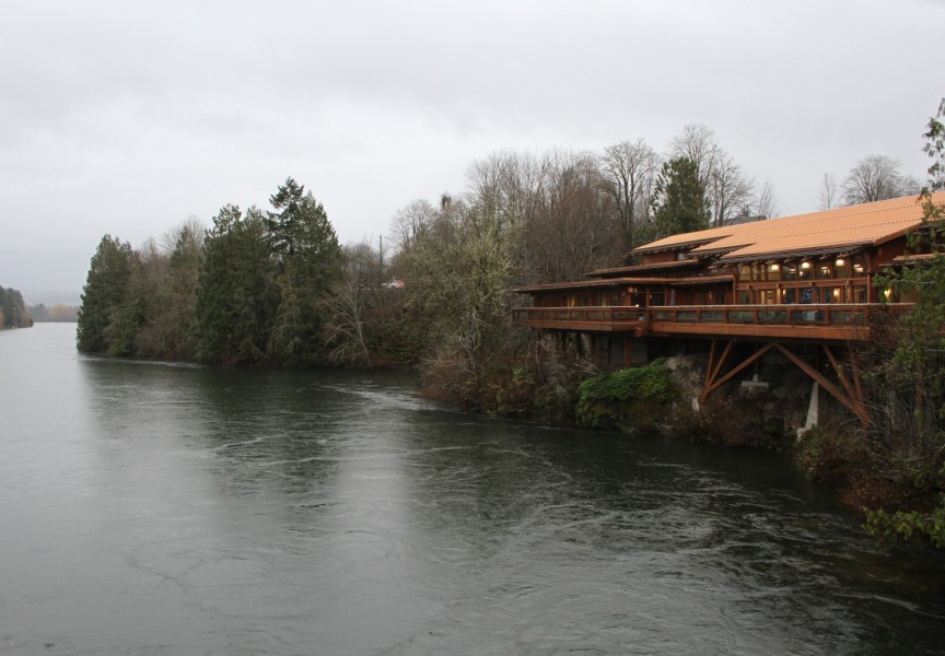
Days of heavy rain have swollen the Somass River to a concerning level, prompting the Tseshaht to activate an emergency response on Tuesday to protect homes at risk of being flooded.
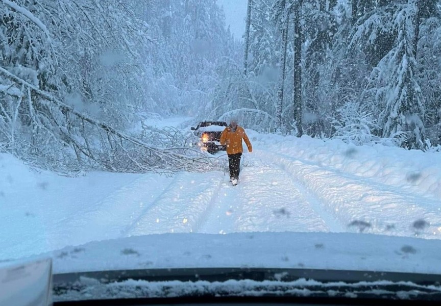
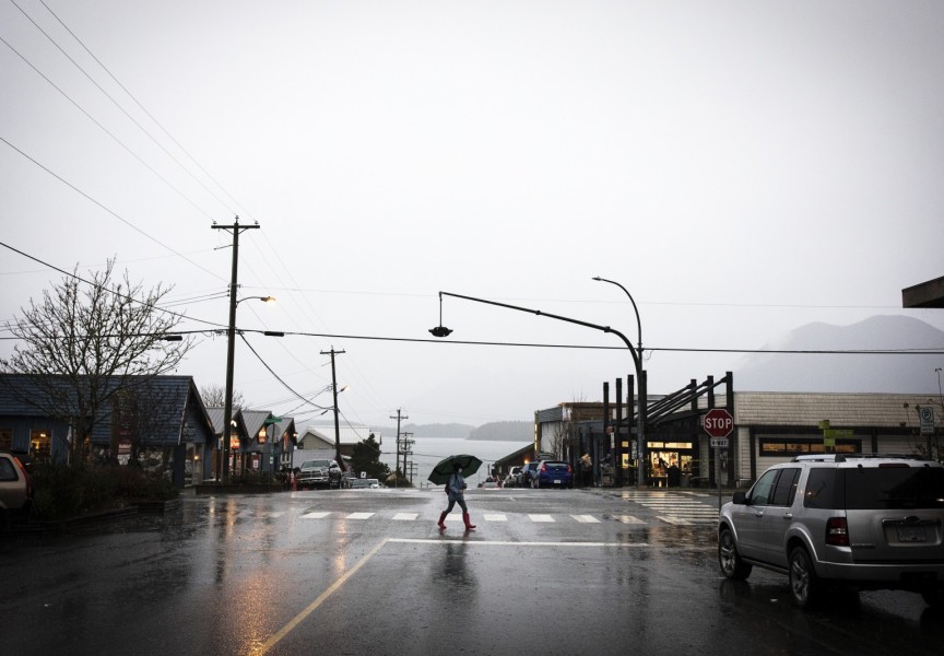
The relentless precipitation started Friday, Jan. 26, and the downpour continued through the weekend, hitting Vancouver Island particularly hard on Monday evening, Jan. 29 with strong wind. The risk of flooding rivers was elevated due to temperatures that were five to 10 degrees Celsius above seasonal levels, causing the island’s snowpack to melt.
“Heavy rainfall combined with mountain snow melt will lead to enhanced responses in river systems and the potential for flooding,” stated an advisory from Environment Canada.
The federal agency also noted the risk of falling tree branches from strong wind that could cause power outages.
Along the Somass River, the Tseshaht warned its members of the strong current caused by the recent conditions.
“The recent heavy rainfall and snowmelt have attributed to the rising water levels and the increased current,” stated the First Nation in an announcement for members. “This swift moving water can present a danger for both people and boats alike. We encourage all members to keep away from and off the water as well as the riverbanks at this time.”
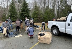
On the afternoon of Jan. 30 the First Nation activated its Emergency Operations Centre, which enabled the reallocation of staff towards preparing sandbags to protect the most vulnerable homes on its reserve.
“It mostly entails the ability to move one crew from a land clearing situation to sandbagging,” said Kaitlin Minvielle, Tseshaht’s emergency program coordinator.
Supplies for sandbags are available for members at the Tseshaht Youth Centre at 6666 Saiyatchapis Road, where approximately 10 staff and five volunteers were at work on Tuesday preparing bags for elders in the community.
Minvielle was appreciative for the quick efforts of the team. By Wednesday morning (Jan. 31) the river had gone down.
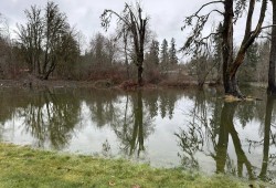
“Even though it started raining again we’re in a better situation that yesterday,” said Minvielle. “No homes have been flooded from the river and we’ve sandbagged those homes that are potentially at risk. The river has receded quite a bit since we did that yesterday.”
Approximately a dozen homes near the Somass River are closely monitored during periods of particularly heavy rain, especially those at the bottom of Watty’s Hill and along Hector Road. During past storms the Tseshaht has had to evacuate some units, including an event in November 2017 that affected five homes and 17 people. In 2014 flooding from the river damaged two homes on the First Nation’s reserve.
A community meeting scheduled for Jan. 31 was postponed as a precautionary measure by the First Nation, due to limited staff availability during the emergency response effort.

