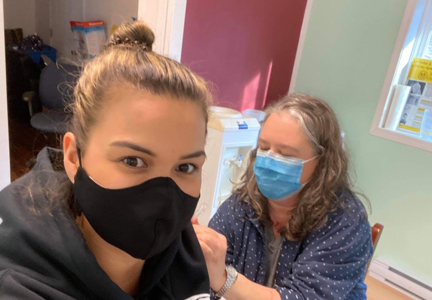
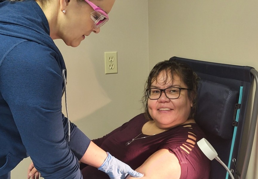
The B.C. Centre for Disease Control (BC CDC) has introduced maps that outline more specific information about where COVID-19 cases are located.
The BC CDC website http://www.bccdc.ca/health-info/diseases-conditions/covid-19/data contains comprehensive information about the pandemic and includes a dashboard with up-to-date statistics. Containing information about cases, hospitalizations, recoveries and deaths, the COVID-19 dashboard is updated every weekday at 5 p.m.
In addition to the case graphs and charts, the BC CDC is now providing information about regional cases. The maps illustrate where the COVID-19 cases in the province. Sorted by health service delivery area, the maps are updated every Friday.
The blue shaded map provides information about cumulative COVID-19 from Jan. 2, 2020 to recently, and is updated every week.
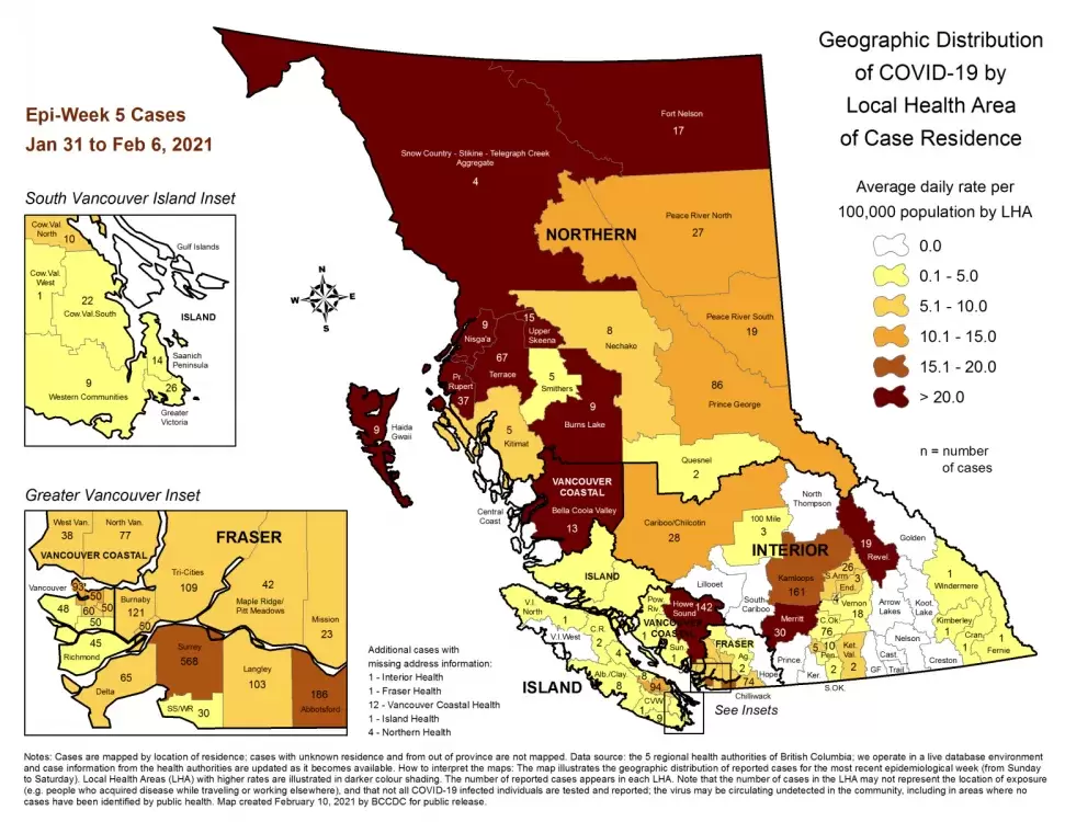
The red/yellow shaded map provides case information for the past seven days and is updated every Friday afternoon. This map shows that there were 167 active cases on Vancouver Island during the week of Feb. 5 - 11: five cases in northern Vancouver Island, 111 cases centrally and 51 active infections in the south.
Scrolling down the page is another map which shows active cases in each health region. On Vancouver Island there are thirteen health regions. According to data most recently updated Feb. 6, the highest number of cases is in greater Nanaimo, with 94 cases. Cowichan Valley has a total of 33 cases in its three health regions.
Alberni/Clayoquot which encompasses almost all of Nuu-chah-nulth territories, has eight cases.
The maps shows that all but one region on the island have active cases. The heath region of Vancouver Island west, which is on the north end of the island and includes Mowachaht/Muchalaht and Ka:'yu:'k't'h'/Che:k'tles7et'h' territories, has zero cases.
The Cases by Local Health Area Map will be updated again on Sunday, Feb. 21.

